Hiking in the western Cairngorms
The Cairngorms are a popular hiking area in Scotland and I can totally see why! However, if you’ve never been to the area before, it can be hard to know where to go and what to expect. The first time I went hiking in the western Cairngorms was in May 2026. I’m therefore sharing my tips for visiting the area, including 5 hiking routes at various levels of difficulty. And even though the attached photos show how nice the weather can be, make sure to prepare for getting cold and wet. You can read more about how to prepare for hiking in winter conditions in this blog.
Transport to walks
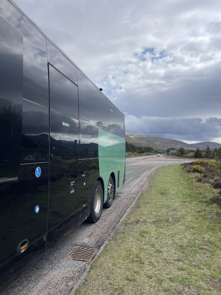
Aviemore is a good base for hiking in the western Cairngorms. The train station in Aviemore is a stop along the service between Inverness and Perth, and you can even alight here from the Caledonian Sleeper. Though trains are infrequent, it can be useful to plan around them to get to or from nearby towns such as Kingussie and Pitlochry. Another helpful way to travel between towns is by using Ember bus. Local buses can bring you to the start of hiking trails, but make sure you don’t miss the last bus to get back!

Speyside Way (easy)
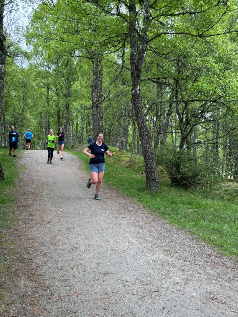
The Speyside Way is a beautiful, easygoing trail. Parts of it have been open since the 1980s, and it currently stretches no less than 139 km. It follows the river Spey from Buckie on the coast to Newtonmore. Between Grantown-on-Spey and Newtonmore, the trail crosses Cairngorms National Park. I ran a short part of the trail from Aviemore and can vouch for the scenery. Near Aviemore, the route winds through the forest, before opening up to a view of the mountains when you head north. As the path is wide and well-maintained, you could also cycle it on a gravel bike. The colours of the trees and heather are beautiful anytime of year. Especially the contrast between the nearby vegetation and the blue-hued, snowtopped mountains in the distance took my breath away.
To do a circular route from Aviemore, you can follow the Speyside Way north and take the Pine Marten trail south (about 10 km) or turn back at Boat of Garten along the bank of the river Spey (about 15 km). Elevation gain on either of these routes is minimal. Alternatively, you could walk south to Kingussie (28 km) or Newtonmore (33 km) and take the train or Ember bus back to your starting point in Aviemore.
Loch Morlich & An Lochan Uaine (easy)
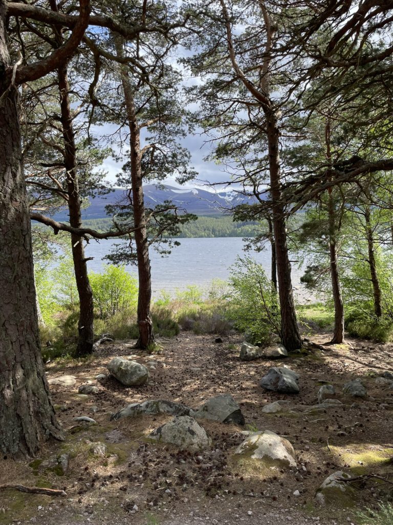
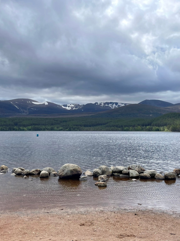
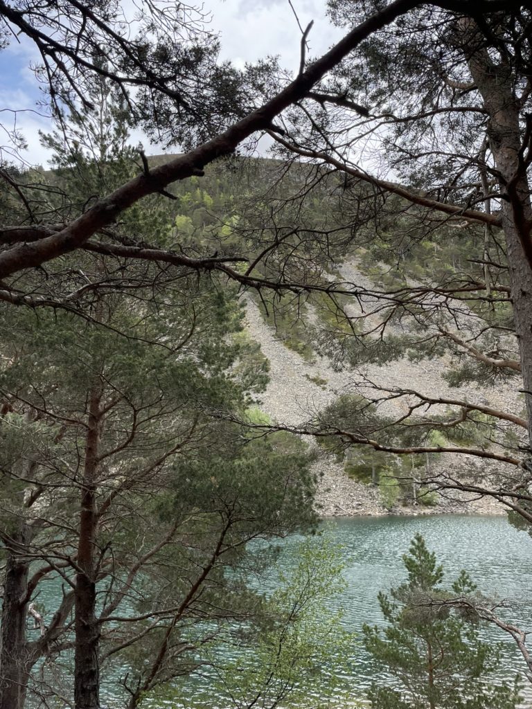
From Aviemore, you can take a bus to Glenmore to do a loop around Loch Morlich (6 km). Again, there is an easy, flat trail. It only requires a bit of navigation on the sourthern side to make sure you don’t end up walking deeper into the forest. Loch Morlich has one of the coolest beaches I’ve been to so far, as it looks out over the forest and mountains. In Glenmore, you will find bars, cafes and a visitor centre. You can extend your walk with an out-and-back stretch to An Lochan Uaine (14 km, including the loop around Loch Morlich). The name of the ‘Green Lake’ is fitting, as the water looks blue-greenish depending on the angle. It’s a beautiful little lake with a small beach and cliffside. If you fancy a cold dip, this is the place to do it!
River Tummel (easy)
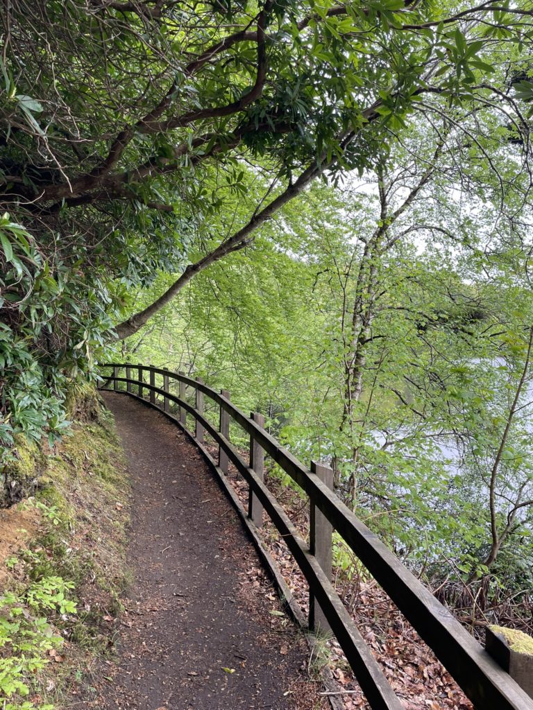
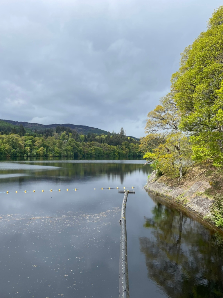
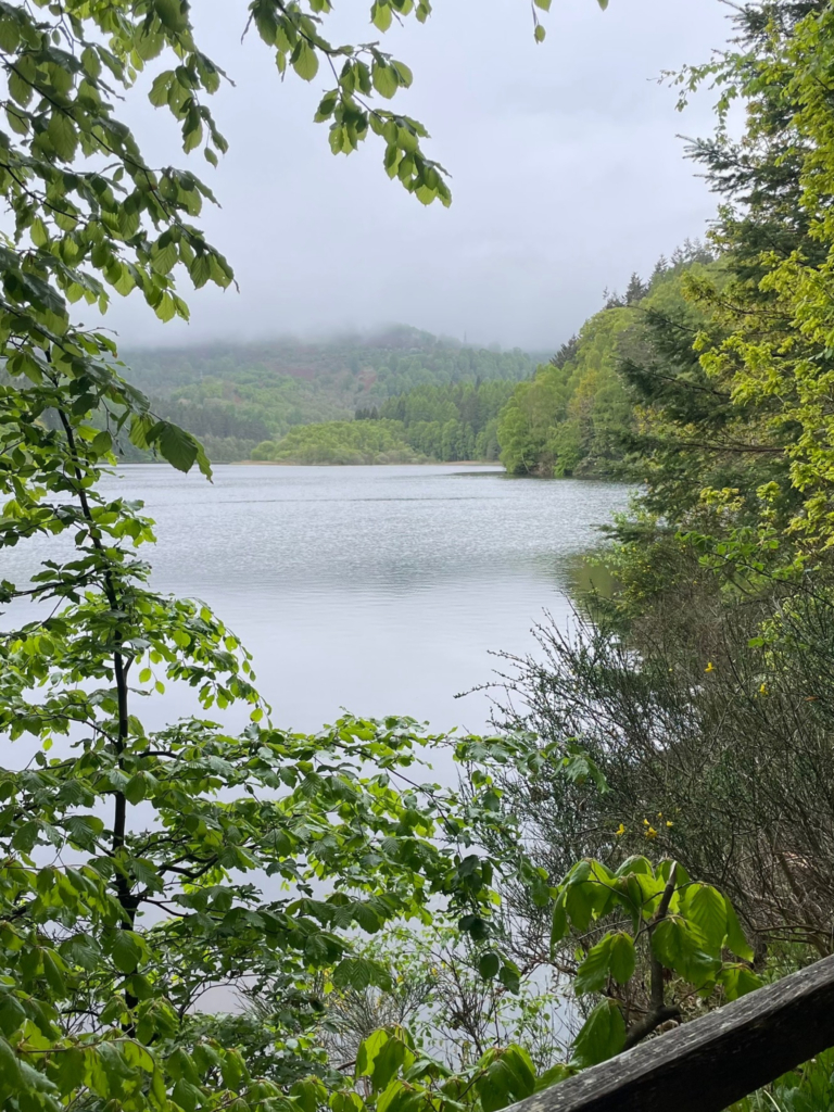
Another good option is a circular route along the River Tummel from Pitlochry. From the town, I walked along Atholl Road to the boating station, up a trail through Faskally Forest. After a loop through the forest, I crossed the river via Clunie Footbridge. The mist above Loch Faskally resulted in an eerie atmosphere, befitting the scenery. I followed the river down to the dam, where a live camera showed the upstream migration of salmon. Continuing on, I crossed the Tummel again at Port-na-Craig, using the Pitlochry Suspension Bridge.
I walked along the other side of the river until reaching the Pitlochry Dam Visitor Centre. This is worth a visit to learn more about the hydropower projects in the highlands, which transformed both ecosystems and the local economy. It’s then a short walk back to the town to complete the loop. There are a few nice gift shops and cafes in Pitlochry to explore after your walk.
Creag Bheag (moderate)
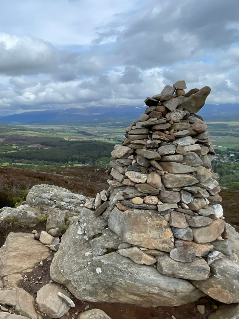
This loop with a hill in the middle (7 km) starts from Kingussie. The route from the town up to the summit is signposted, and there are several alternative loops you can do. Starting off in some woodland, the first part of the ascent is quite steep. However, the path is well-maintained, with steps in several places, making it less cumbersome. Once you emerge from the trees, the area gets rockier. The path is lined by small trees and thick heather, with large boulders further back. At the top, you will find a cairn. Though you can see proper mountains in the distance, I didn’t find the view from Creag Bheag too spectacular. You can see (and hear) the motorway and the town, so it doesn’t feel like you’re fully out in nature. But it gets better once you start the descent!
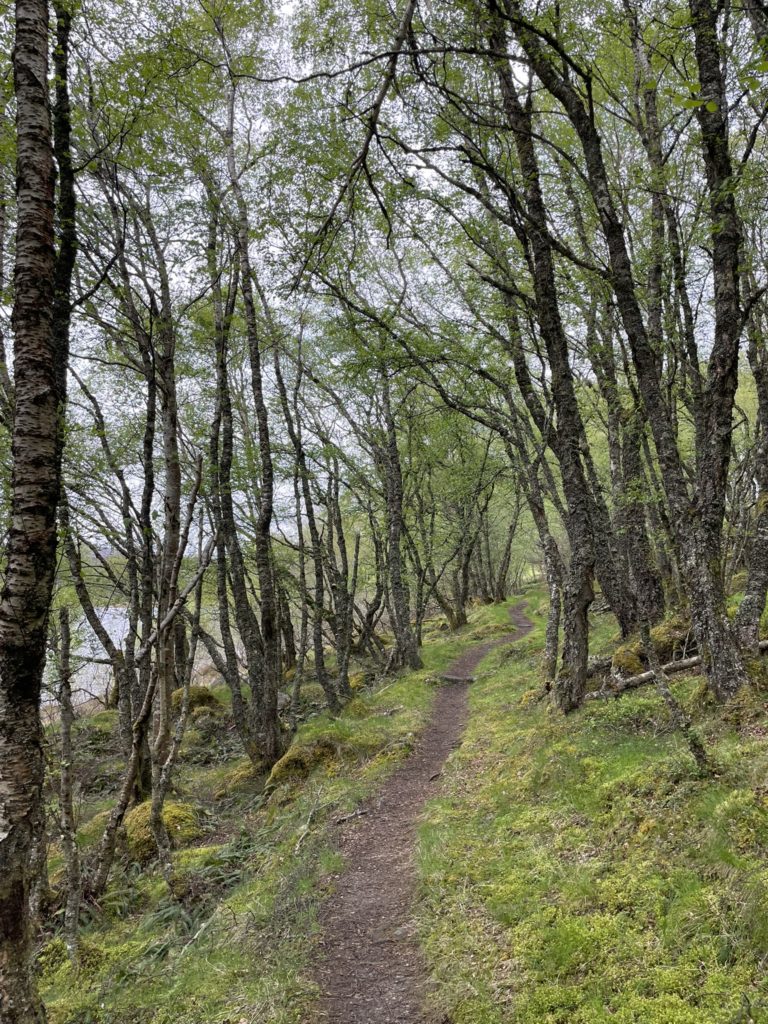
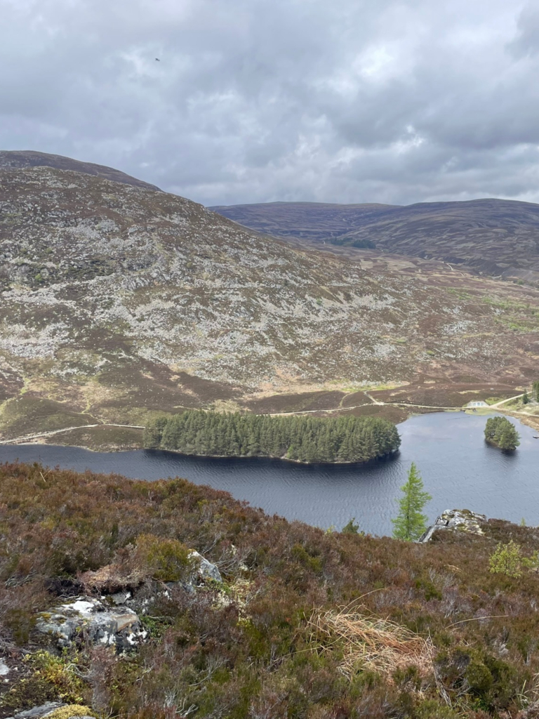
Not long after the summit, you again enter a forested area. About halfway down the path, there is a bench with a lovely view over Loch Gynack. From there, the descent brings you parallel to the lake on another nice trail. The lake is visible through the trees and looking back when you leave the woodland behind. On this side of Creag Bheag, it feels a lot more remote, with impressive views of other hills and mountains ahead. Finally, you loop back to Kingussie through fields and streets with pretty gardens.
Cairn Gorm & Ben Macdui (strenuous)
Seasoned hikers will love this route to the top of 2 munro’s. You start and finish at the Cairn Gorm ski centre, also called base station or mountain resort. The ‘Aviemore Adventurer’ (bus 30) takes you to and from the start, but make sure you plan a route that is feasible to catch the return bus. There are many options in terms of routes: you can take the fernicular up to Ptarmigan Top Station, which is near the summit of Cairn Gorm. You can then walk back down to the ski centre. But part of the fun is walking up! I would say an up-and-down route counts as moderate (7 km), but you could also choose a slightly longer loop via Cairn Lochan (11 km). The complete route I did to ‘bag’ both Cairn Gorm and Ben Macdui requires decent hiking experience and serious committment (20 km).
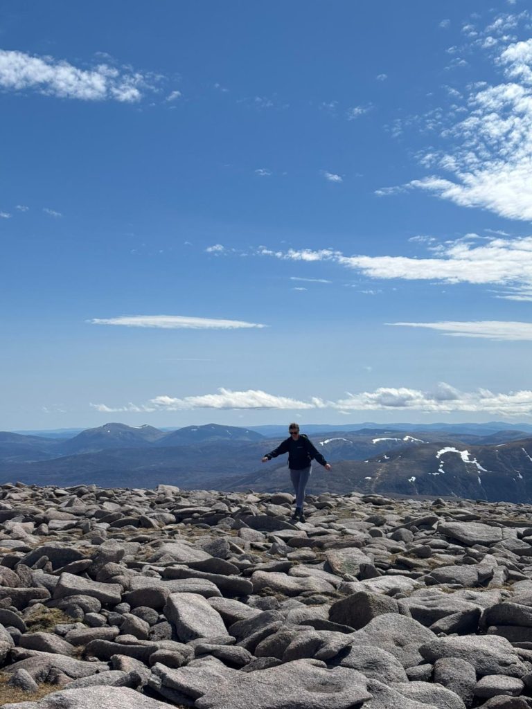
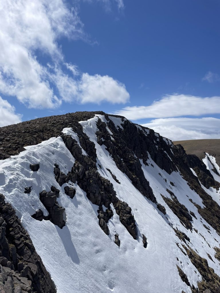
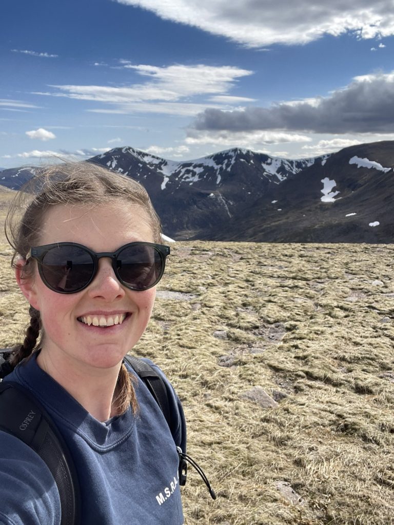
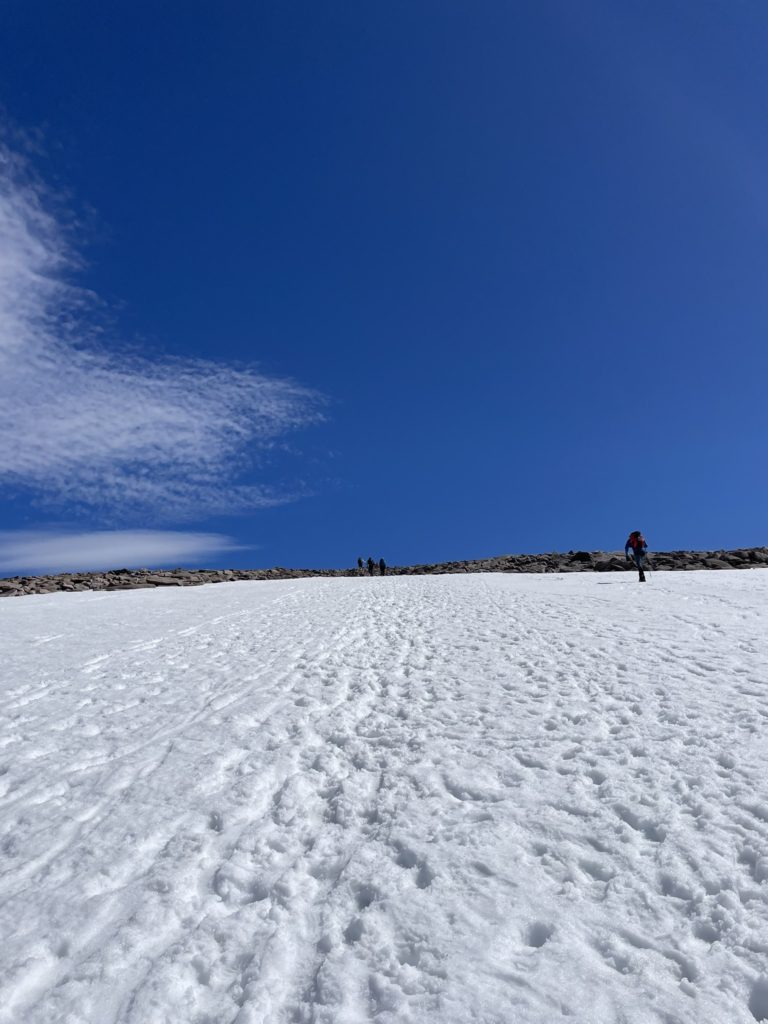
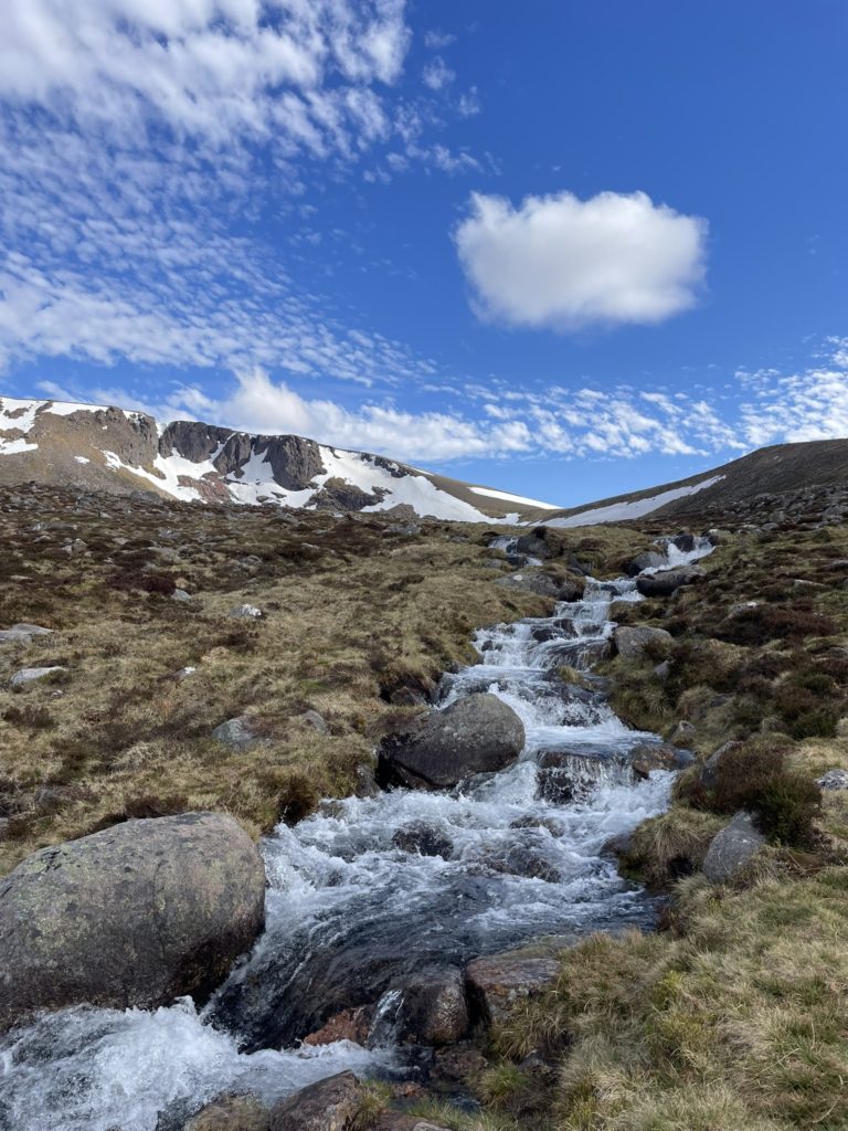
In late May, there was still a lot of snow on the peaks, so waterproofs are essential. The climb up to Cairn Gorm is long and steady. At the top, you’ll be rewarded with views that stretch far and wide. I was lucky enough to see a rare snow bunting perched on the cairn that denotes the summit. Both before and after the summit, I took a couple of minor detours to the summits of several ‘munro tops’. These all have long and beautiful Gaelic names and make for additional viewpoints. The trek to Ben Macdui involved a stretch of snow, so progress was slow but incredibly fun.
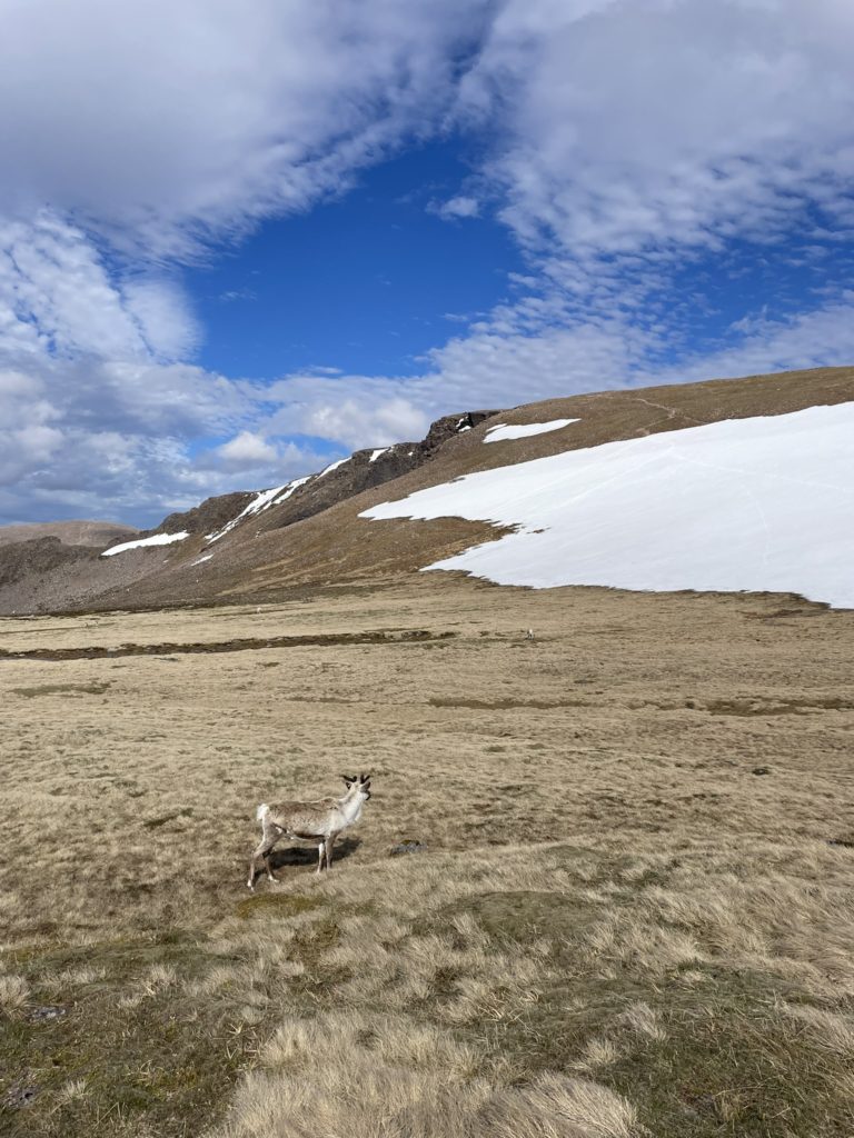
My favourite part of the day was near the end, following the ridge in the northern direction back towards the ski centre. From here, I had an amazing view of the next ridge on the other side of a steep valley. I could see the Sròn na Lairige range with a waterfall, and Braeriach further to the southwest. Seeing these peaks really makes you feel small and appreciate the forces of nature. To add to the delight, the UK’s only wild herd of reindeer was grazing a bit further down the path. ‘Wild’ appears to be a relative term, because these reindeer are clearly used to humans and not afraid at all. I completed the last few kilometres of the hike on a well-trodden path that crossed multiple meltwater streams. All in all, this hike in the western Cairngorms is one of the best ones I’ve ever done!
Most important tips
- You can definitely rely on public transport when hiking in the western Cairngorms, but do plan ahead.
- May is a good time of year, as it’s not too busy and you have a fair change of snowy peaks plus sun.
- Don’t overestimate your abilities when in the mountains, and know which shortcuts you can take.
- There are plenty of popular trails and well-marked paths near Aviemore, Kingussie and Pitlochry.